


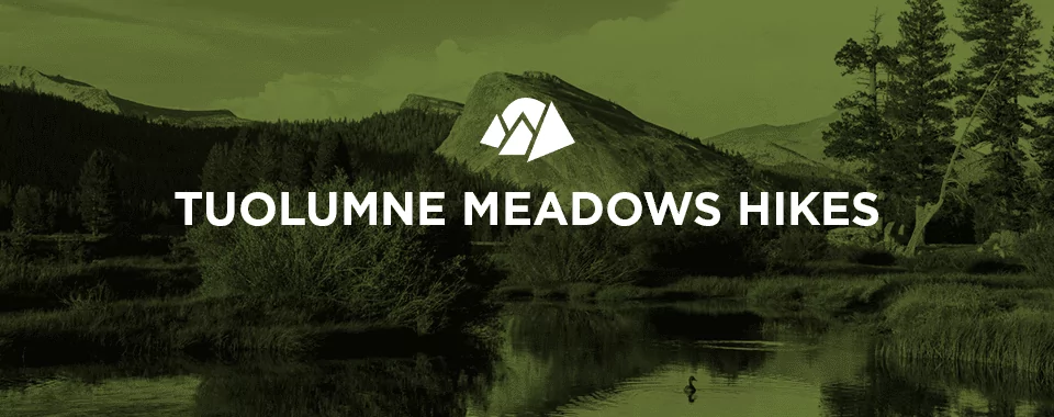
Tuolumne Meadows Hikes
Hiking in Tuolumne Meadows is Yosemite’s best-kept secret. Most visitors to the park never take the time to explore this beautiful and spacious high-alpine clearing because it is overshadowed by the popularity of nearby Yosemite Valley. If you’d like to escape the crowds and see some peaceful grasslands and lush forests, don’t miss out on this often-missed area of the park.
All-inclusive Yosemite Hiking Adventures
Hiking Tuolumne Meadows in Yosemite
Here’s a quick overview of what you can expect when hiking in the Meadows:
- When to visit: As the Meadows are located at 8,600 feet above sea level, they’re covered in snow for much of the year and are only open between June and September. The Meadows are especially gorgeous early in the season when they are green and full of flowers.
- Crowds: The immense size of this area means that, even during peak season, it’ll never feel too crowded.
- Difficulty: Although Tuolumne Meadows serves as a starting point for many strenuous hikes, the meadows themselves are rather flat and easy to walk. If you try to run, however, you’ll quickly remember that the elevation of Tuolumne Meadows is over 8,000 feet.
- Parking: There are parking areas scattered along the length of Tioga Road, but the lots are small.
- Reservations: You can make online reservations for some of the campsites, but others are first-come, first-serve.
What to See in Tuolumne Meadows
This alpine plateau features a number of attractions, many of which are easily accessible from the Tioga Road:
- Soda Springs: Above the Tuolumne River’s north shore are the cold, carbonated waters known as Soda Springs.
- Olmstead Point: This point can be easily accessed by car and offers unforgettable views of Clouds Rest, Half Dome and the Valley’s edge, a unique vista few park visitors get to experience. If you look east, you can also see the granite domes of Tenaya Lake.
- Tenaya Lake: Tenaya Lake is arguably the most beautiful body of water in the park — and it’s also easy to access. The granite promontories in the background make for a great photo op, and the beach is a fantastic spot to kick back and relax. The lake also serves as a starting point for a hike to Clouds Rest and other fascinating park destinations.
- Cathedral Lakes: These beautiful alpine lakes get their name from the towering Cathedral Peaks in the background, which are thought to resemble the turrets and spires of a cathedral.
For more information on things to see at Tuolumne Meadows, make sure to stop by the Tuolumne Meadows Visitor Center.
Day Hikes in Tuolumne Meadows
The best hikes in Tuolumne Meadows that can be completed in a day include:
- Glen Aulin: This easy, 11-mile round-trip trail features numerous waterfalls and breathtaking vistas as it follows the Tuolumne River. It has an elevation gain of 800 feet and takes six to eight hours to hike.
- Lembert Dome Trail: This 2.8-mile round-trip trail features stunning panoramic views of Tuolumne Meadows. The Lembert Dome Trail is one of the least strenuous ways to enjoy this area of the park because you’ll only gain about 850 feet of elevation and require only three hours to complete it.
- Lyell Canyon via the John Muir Trail: At eight miles, this trail is significantly longer than Glen Aulin and Lembert Dome — but with its small elevation gain of 200 feet, it is minimally strenuous. This trail starts across the road from the parking area for Dog Lake and passes by Lyell Canyon as well as the Tuolumne River’s Lyell Fork.
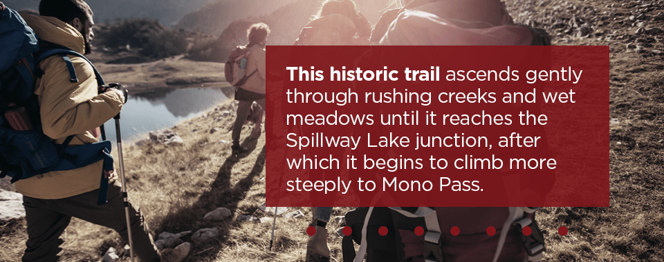
- Mono Pass Trail: This is a relatively easy, eight-mile round-trip route with a gain in elevation of just 1,000 feet that requires four to six hours to complete. To access the trailhead, head east on the Tioga Road from Tuolumne Meadows for six miles, and you’ll reach a parking area for the Mono Pass trailhead. This historic trail ascends gently through rushing creeks and wet meadows until it reaches the Spillway Lake junction, after which it begins to climb more steeply to Mono Pass. Here you can take in stunning views of Bloody Canyon and Mono Lake.
- Soda Springs, Parsons Memorial Lodge and Parson’s Lodge Trail: This mile and a half round-trip hike starts at the parking area for Lembert Dome and takes roughly an hour to finish. The trail first passes by Soda Springs, a mysterious cold-water, carbonated springs, and then Parsons Memorial Lodge, one of the first stone structures to be built in a national park.
- Vogelsang High Sierra Camp Area Trail: This strenuous, 13.8-mile round-trip trail features 1,400 feet of elevation gain and takes about eight hours to complete. Starting across the road from the parking area for Dog Lake, the trail’s first two miles follow the Tuolumne River’s Lyell Fork and are relatively level. Once the trail passes the Rafferty Creek junction, it starts its 1,200-foot climb to Tuolumne Pass. From the pass, you can follow signs to the Vogelsang High Sierra Camp, and from there, you can hike a half-mile to Vogelsang Lake or a mile and a half to Vogelsang Pass.
Tuolumne Meadows Backpacking Trails
If you’d prefer a multi-day backpacking trek through Tuolumne Meadows, consider one of the following excursions:
- Clouds Rest (14 miles): Starting at Tenaya Lake, this gorgeous hike meanders through forests in the direction of Sunrise Lakes, but goes to the top of Clouds Rest. At this summit, you will enjoy views of Half Dome, Tenaya Canyon, High Country and Yosemite Valley. The elevation gain for this trail is 2,300 feet.
- Waterwheel Falls (20.6 miles): To reach the magnificent Waterwheel Falls from Tuolumne Meadows, head in a northwest direction along the Tuolumne Wild and Scenic River till you get to the Tuolumne River’s Grand Canyon. This trail experiences an elevation gain of 1,850 feet.
- McCabe Lakes (29.6 miles): This route begins at Tuolumne Meadows, follows the Pacific Crest Trail, goes down to Glen Aulin and then passes through forests and meadows as it makes its way to the distant McCabe Lakes. This trail features a 1,950-foot elevation gain.
- Vogelsang to Cathedral (33.3 miles): This route, which can be accessed from either Cathedral Lakes or Rafferty Creek, is a classic section of the famous High Sierra Loop and passes by Merced Lake, Sunrise High Sierra Camps and the Vogelsang. This trail features a gain in elevation of 4,550 feet.
- High Sierra Camp Loop (48.2 miles): This long loop passes through a variety of alpine environments, including forests, meadows and passes. It visits some of Yosemite high country’s most popular destinations, including Merced Lake, May Lake, Sunrise and Vogelsang. This route features a 6,450-foot gain in elevation.
- Northern Yosemite Loop (76.4 miles): This loop passes through Yosemite’s rugged and remote north country. Although you can create a number of loops and one-way trips of varying lengths, you should prepare yourself for long distances and few people. Hikers who complete the entire loop will experience an elevation gain of 13,330 feet.
Enjoy the Best of Yosemite with Wildland Trekking
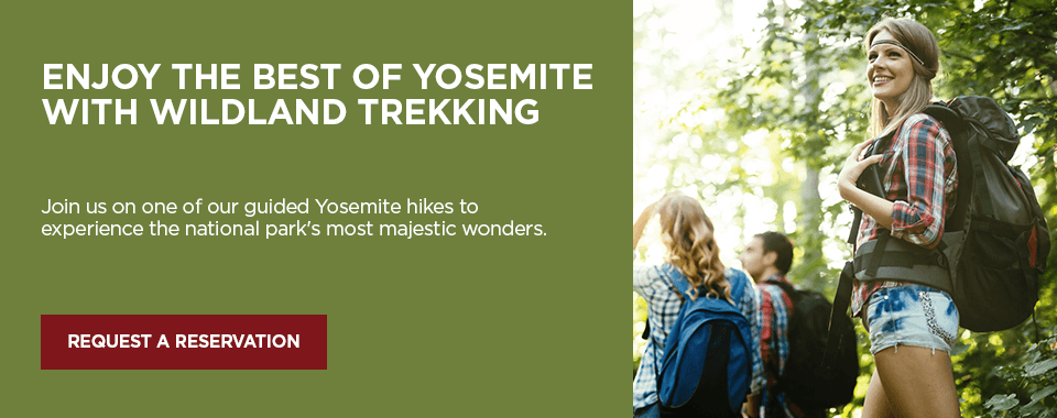
Join us on one of our guided Yosemite hikes to experience the national park’s most majestic wonders, which include giant granite cliffs, towering waterfalls, enormous trees, rushing rivers, alpine meadows and crystal-clear lakes.
With Wildland Trekking, you can enjoy Yosemite National Park a number of ways, including day hikes, backpacking trips, inn-based tours and camping-based tours.
